close
-
Layers w
- Weather Layers
- Pro
- Pro
- Pro
- Pro
- Pro
- Pro
- More Layers
- Pro
- Pro
- Pro
- Pro
-
Upgrade to

3D
Trail Conditions
- Unknown
- Snow Groomed
- Snow Packed
- Snow Covered
- Snow Cover Partial
- Freeze/thaw Cycle
- Icy
- Prevalent Mud
- Wet
- Variable
- Ideal
- Dry
- Very Dry
Trail Flow (Ridden Direction)
Trailforks scans users ridelogs to determine the most popular direction each trail is ridden. A good flowing trail network will have most trails flowing in a single direction according to their intension.
The colour categories are based on what percentage of riders are riding a trail in its intended direction.
The colour categories are based on what percentage of riders are riding a trail in its intended direction.
- > 96%
- > 90%
- > 80%
- > 70%
- > 50%
- < 50%
- bi-directional trail
- no data
Trail Last Ridden
Trailforks scans ridelogs to determine the last time a trail was ridden.
- < 2 days
- < 1 week
- < 2 weeks
- < 1 month
- < 6 months
- > 6 months
Trail Ridden Direction
The intended direction a trail should be ridden.
- Downhill Only
- Downhill Primary
- Both Directions
- Uphill Primary
- Uphill Only
- One Direction
Contribute Details
Colors indicate trail is missing specified detail.
- Description
- Photos
- Description & Photos
- Videos
Trail Popularity ?
Trailforks scans ridelogs to determine which trails are ridden the most in the last 9 months.
Trails are compared with nearby trails in the same city region with a possible 25 colour shades.
Think of this as a heatmap, more rides = more kinetic energy = warmer colors.
- most popular
- popular
- less popular
- not popular
ATV/ORV/OHV Filter
Max Vehicle Width
inches
US Cell Coverage
Legend

Radar Time
Activity Recordings
Trailforks uses anonymized public activity data.
?
Activity Recordings
Trailforks uses anonymized public activity data.
?
Personal Heatmap
▶
Activity Types
all
/
none
▶
Options
2
Date range
month
–
Winter Trails
Warning
A routing network for winter maps does not exist. Selecting trails using the winter trails layer has been disabled.
Missing Trails
Most Popular
Least Popular
Trails are colored based on popularity. The more popular a trail is, the more red. Less popular trails trend towards green.
Jump Magnitude Heatmap
Heatmap of where riders jump on trails. Zoom in to see individual jumps, click circles to view jump details.
BC Backroad Status
![map legend]()
Service Road Atlas is a free to use, community-driven service for viewing and creating reports on the numerous back-country service roads around B.C. and Alberta.

Slope Aspect
Direction the slope faces
Trails Deemphasized
Trails are shown in grey.
Only show trails with no bike usage.
Suggested Layers
Based on selected activity type
Save the current map location and zoom level as your default home location whenever this page is loaded.
Save
No description for Muçum,Rs has been added yet!
Login or register to submit one.
Activities Click to view
- Mountain Bike
25 trails
- E-Bike
15 trails
- Adaptive Bike
0 trails
- Hike
0 trails
- Trail Running
0 trails
Region Details
- 15
- 8
- 2
Region Status
Open as of Sep 4, 2023Stats
- Trails (view details)
- 25
- Trails Mountain Bike
- 25
- Trails E-Bike
- 15
- Total Distance
- 55 miles
- Total Descent Distance
- 27 miles
- Total Descent
- 11,412 ft
- Total Vertical
- 1,575 ft
- Highest Trailhead
- 1,763 ft
- Reports
- 4
- Photos
- 5
- Ridden Counter
- 157
Sub Regions
-
Barra das Contas / Braz / Linha 13 Maio
- 7
- 2
Popular Muçum,Rs Mountain Biking Trails
• 80 ★ 0.0 • 2 miles • 7 ft • 10 •
Popular blue difficulty singletrack. This mountain bike primary trail can be used downhill primary. Trail visibility is sometimes hard to follow. On average it takes 9 minutes to complete this trail.
• 95 ★ 0.0 • 853 ft • 0 ft • 8 •
Popular blue difficulty singletrack. This mountain bike primary trail can be used downhill primary. On average it takes minutes to complete this trail.
• 5 ★ 0.0 • 2 miles • 78 ft • 7 •
Less popular blue difficulty singletrack. This mountain bike primary trail can be used downhill primary. On average it takes 6 minutes to complete this trail.
• 85 ★ 0.0 • 4,790 ft • 33 ft • 6 •
Popular blue difficulty singletrack. This mountain bike primary trail can be used downhill primary. On average it takes 4 minutes to complete this trail.
• 100 ★ 0.0 • 3,533 ft • 16 ft • 5 •
Popular blue difficulty singletrack. This mountain bike primary trail can be used downhill only. It features rock face. Trail visibility is sometimes hard to follow. On average it takes 10 minutes to complete this trail.
• 5 ★ 0.0 • 4 miles • 162 ft • 4 •
Less popular black diamond difficulty singletrack. This mountain bike primary trail. Trail visibility is sometimes hard to follow. On average it takes 1 hour4 minutes to complete this trail.
• 5 ★ 0.0 • 3 miles • 169 ft • 4 •
Less popular blue difficulty singletrack. This mountain bike primary trail can be used downhill primary. Trail visibility is sometimes hard to follow. On average it takes 43 minutes to complete this trail.
• 5 ★ 0.0 • 4 miles • 249 ft • 3 •
Less popular blue difficulty singletrack. This mountain bike primary trail can be used downhill primary. On average it takes 34 minutes to complete this trail.
Muçum,Rs Mountain Bike Routes
62 miles • 12,490 ft • 21 • Point to Point •
Trilhas de All Mountain pelo interior de Muçum e Vespasiano Correia.
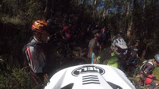
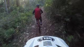
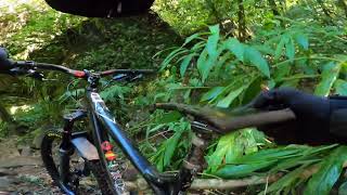
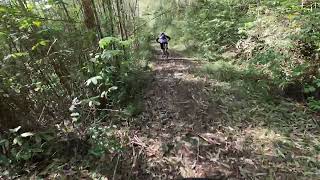
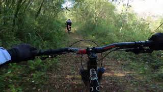
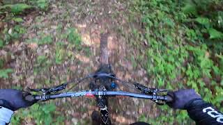
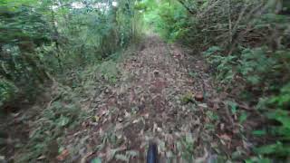
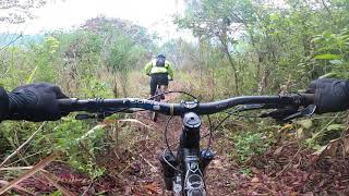
Videos of Muçum,Rs Mountain Bike
trail: Dos 28 Cotovelos
8:44 |
107 |
Jul 27, 2023 , Muçum,Rs
trail: Jacaré 04
0:27 |
99 |
Jul 26, 2023 , Muçum,Rs
trail: Dos 28 Cotovelos
8:52 |
99 |
Jul 25, 2023 , Muçum,Rs
trail: Jacaré 04
0:21 |
97 |
Jul 25, 2023 , Muçum,Rs
trail: Jacaré 08
3:13 |
129 |
Jul 25, 2023 , Muçum,Rs
trail: Jacaré 03
8:27 |
97 |
Jul 25, 2023 , Muçum,Rs
trail: Jacaré 02
5:34 |
113 |
Jul 25, 2023 , Muçum,Rs
trail: Jacaré 03
0:57 |
289 |
Aug 25, 2021 , Muçum,Rs
Recent Trail Reports
no previous reports, add one now!
Activity Feed
| username | action | type | title | date |
|---|---|---|---|---|
| fabiopsk | update | trail | activity #84742729 | Nov 26, 2025 @ 5:27am Nov 26, 2025 |
| fabiopsk | update | trail | activity #58301384 | Sep 3, 2024 @ 6:31pm Sep 3, 2024 |
| fabiopsk | add | photo | activity #43734862 and 2 more | Sep 4, 2023 @ 7:14am Sep 4, 2023 |
| fabiopsk | add | report | activity #43734686 and 2 more | Sep 4, 2023 @ 7:09am Sep 4, 2023 |
| fabiopsk | add | report | activity #43692522 | Sep 3, 2023 @ 6:56am Sep 3, 2023 |
Local Badges
-

Epic Mountain Bike Climb 2k9 awarded -

Climbing 10k Badge3 awarded -

Mountain Biking 100k Badge0 awarded -

Epic Ride Descent 2k9 awarded -

Descent 10k Badge3 awarded -

Descent 100k Badge0 awarded
Activity Type Stats
| activitytype | trails | distance | descent | descent distance | total vertical | rating | global rank | state rank | photos | reports | routes | ridelogs |
|---|---|---|---|---|---|---|---|---|---|---|---|---|
| Mountain Bike | 25 | 55 miles | 11,411 ft | 27 miles | 1,575 ft | #11,534 | #153 | 5 | 4 | 1 | 135 | |
| E-Bike | 15 | 33 miles | 6,552 ft | 16 miles | 1,539 ft | #3,276 | #71 | 2 | 1 | 42 |
Frequently Asked Questions About Muçum,Rs
▼
What are the best places to ride in Muçum,Rs?
Muçum,Rs has 1 areas to explore for mountain biking. The top rated areas are:
▼
What are the highest rated mountain biking trails in Muçum,Rs?
The highest rated mountain biking trails in Muçum,Rs are:
- Jacaré 08 (0/5)
- Jacaré 03b (0/5)
- Jacaré 04 (0/5)
- Jacaré 02 (0/5)
- Dos 28 Cotovelos (0/5)
▼
Where can I park to ride in Muçum,Rs?
There are 2 parking locations listed in Muçum,Rs. The most popular parking spots are:
▼
What is the longest trail in Muçum,Rs?
The longest trail in Muçum,Rs is Jacaré 06 at 3.8 miles. View all trails sorted by distance.
Trails
Points of Interest
- By valebiketrail & contributors
- Admins: NataGiacomozzi, WTFB
- #25068 - 1,248 views
- muçum,rs activity log | embed map of Muçum,Rs mountain bike trails | muçum,rs mountain biking points of interest
Downloading of trail gps tracks in kml & gpx formats is enabled for Muçum,Rs.
You must login to download files.