close
-
Layers w
- Weather Layers
- Pro
- Pro
- Pro
- Pro
- Pro
- Pro
- More Layers
- Pro
- Pro
- Pro
- Pro
-
Upgrade to

3D
Trail Conditions
- Unknown
- Snow Groomed
- Snow Packed
- Snow Covered
- Snow Cover Partial
- Freeze/thaw Cycle
- Icy
- Prevalent Mud
- Wet
- Variable
- Ideal
- Dry
- Very Dry
Trail Flow (Ridden Direction)
Trailforks scans users ridelogs to determine the most popular direction each trail is ridden. A good flowing trail network will have most trails flowing in a single direction according to their intension.
The colour categories are based on what percentage of riders are riding a trail in its intended direction.
The colour categories are based on what percentage of riders are riding a trail in its intended direction.
- > 96%
- > 90%
- > 80%
- > 70%
- > 50%
- < 50%
- bi-directional trail
- no data
Trail Last Ridden
Trailforks scans ridelogs to determine the last time a trail was ridden.
- < 2 days
- < 1 week
- < 2 weeks
- < 1 month
- < 6 months
- > 6 months
Trail Ridden Direction
The intended direction a trail should be ridden.
- Downhill Only
- Downhill Primary
- Both Directions
- Uphill Primary
- Uphill Only
- One Direction
Contribute Details
Colors indicate trail is missing specified detail.
- Description
- Photos
- Description & Photos
- Videos
Trail Popularity ?
Trailforks scans ridelogs to determine which trails are ridden the most in the last 9 months.
Trails are compared with nearby trails in the same city region with a possible 25 colour shades.
Think of this as a heatmap, more rides = more kinetic energy = warmer colors.
- most popular
- popular
- less popular
- not popular
ATV/ORV/OHV Filter
Max Vehicle Width
inches
US Cell Coverage
Legend

Radar Time
Activity Recordings
Trailforks uses anonymized public activity data.
?
Activity Recordings
Trailforks uses anonymized public activity data.
?
Personal Heatmap
▶
Activity Types
all
/
none
▶
Options
2
Date range
month
–
Winter Trails
Warning
A routing network for winter maps does not exist. Selecting trails using the winter trails layer has been disabled.
Missing Trails
Most Popular
Least Popular
Trails are colored based on popularity. The more popular a trail is, the more red. Less popular trails trend towards green.
Jump Magnitude Heatmap
Heatmap of where riders jump on trails. Zoom in to see individual jumps, click circles to view jump details.
BC Backroad Status
![map legend]()
Service Road Atlas is a free to use, community-driven service for viewing and creating reports on the numerous back-country service roads around B.C. and Alberta.

Slope Aspect
Direction the slope faces
Trails Deemphasized
Trails are shown in grey.
Only show trails with no bike usage.
Suggested Layers
Based on selected activity type
Save the current map location and zoom level as your default home location whenever this page is loaded.
SaveOn Trailforks Rhode Island is mapped into the official counties and cities, all of which have been mapped and locked down (see link below). When adding a new ride area locate it in the correct town and the rest will auto-populate..
source: Official Map of Rhode Island
Links
Stats
- Avg Trail Rating
- Trails (view details)
- 1,539
- Trails Mountain Bike
- 1,275
- Trails E-Bike
- 151
- Trails Gravel Bike
- 34
- Trails Adaptive Bike
- 2
- Trails Winter Fat Bike
- 6
- Trails Horse
- 158
- Trails Hike
- 1,516
- Trails Trail Running
- 1,500
- Trails Dirtbike/Moto
- 3
- Trails Snowmobile
- 4
- Trails Snowshoe
- 529
- Trails Downhill Ski
- 18
- Trails Backcountry Ski
- 30
- Trails Nordic Ski
- 377
- Total Distance
- 862 miles
- Total Descent
- 58,860 ft
- Total Vertical
- 810 ft
- Highest Trailhead
- 810 ft
- Reports
- 8,211
- Photos
- 1,905
- Ridden Counter
- 241,488
Articles

Video & Race Report: Eastern States Cup Enduro #1 - Diamond Hill, RI
Apr 29, 2026 from pinkbike.com
After a long, cold winter in the Northeast, we're finally able to lay tires on dirt again.
Popular Trail Networks
view all areas »Sub Regions
- Bristol County (4)
- Kent County (228)
- Newport County (18)
- Providence County (428)
- Washington County (597)
Popular Rhode Island Mountain Biking Trails
• 100 ★ 5.0 • 801 ft • 0 ft • 1,218 •
Popular white difficulty singletrack. This mountain bike primary trail can be used both directions and has a easy overall physical rating with a 0 ft green climb. Trail visibility is always easy to follow. On average it takes 1 minutes to complete this trail.
• 95 ★ 4.5 • 4,452 ft • 6 ft • 1,179 •
Highly rated popular green difficulty singletrack. This multi-use trail can be used downhill primary and has a moderate overall physical rating with a 6 ft blue climb. Trail visibility is always easy to follow. On average it takes 5 minutes to complete this trail.
• 100 ★ 4.5 • 968 ft • 0 ft • 1,186 •
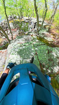
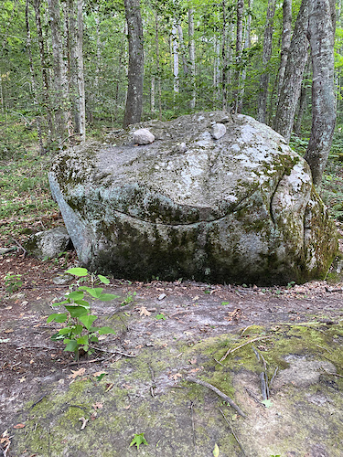
was the second trail built and basically became a connector trail from North to . This trail has a few short rock gardens with off-camber turns into rocks for added fun. At the end there is a huge boulder that you can either ride up and...
• 100 ★ 3.5 • 2,910 ft • 205 ft • 1,174 •
Primary climb trail for DH runs off the top of the hill. Also starts the XC loop. Technically easy, but has a few very steep pitches and will offer a good workout to those making multiple laps. Follow natural direction of trail to top...
• 100 ★ 4.4 • 2,254 ft • 14 ft • 1,184 •
Highly rated popular green difficulty singletrack. This mountain bike primary trail can be used both directions with a 14 ft green climb. It features roller coaster and skinny. On average it takes 4 minutes to complete this trail.
• 100 ★ 4.5 • 1 mile • 81 ft • 1,159 •
is a beginner friendly trail that meanders through the forest. It has 9 stone wall crossings that can either be rolled or hucked. This trail is also 'trike' adapted for disabled riders to enjoy. There is also a ladder ramp at one end...
• 100 ★ 4.0 • 643 ft • 47 ft • 1,124 •
Alternate climb to the top of the DH trails. Slightly harder than
• 100 ★ 4.4 • 3,120 ft • 12 ft • 1,122 •
Popular green difficulty singletrack. This mountain bike primary trail can be used both directions and has a easy overall physical rating with a 12 ft green climb. Trail visibility is always easy to follow. On average it takes 5 minutes to complete this trail.
Rhode Island Mountain Bike Routes
RINEMBA Fun Ride 22 XC Loop Featured
★ 5.0 • 8 miles • 835 ft • 15 •
Thsi is the XC Loop for the RINEMBA 2022 Fun Ride
2024 Woody Hill Fun Ride Expert Loop Featured
★ 2.0 • 20 miles • 1,429 ft • 27 •
This is the expert route for the 2024 Woody Hill Fun Ride.
75 miles • 3,326 ft • 57 •
Here it is. The entire North South Trail in one route going from blue blaze to blue blaze with no shortcuts.
2024 Woody Hill Fun Ride Mellow Loop Featured
7 miles • 360 ft • 5 •
This is the mellow loop for the RINEMBA 2024 Woody Hill Fun Ride
14 miles • 928 ft • 22 •
This is the RINEMBA 2024 Woody Hill Fun Ride Intermediate Loop
2022 Fun Ride Short Loop Featured
9 miles • 412 ft • 8 •
2022 Fun Ride Short Loop. Geared for those that want a shorter loop.
Photos of Rhode Island Mountain Bike
Videos of Rhode Island Mountain Bike
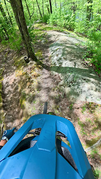
trail: Slab Run
0:19 |
|
May 19, 2025
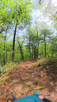
trail: Don's Down and Out
3:11 |
23 |
May 19, 2025
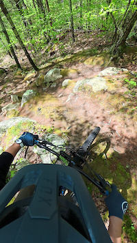
trail: Party Spot To Ledge
0:37 |
|
May 19, 2025
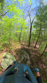
trail: Don's Down and Out
0:31 |
14 |
May 18, 2025

trail: Ring Road
0:25 |
|
May 18, 2025
trail: Ring Road
0:25 |
|
May 18, 2025
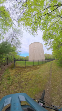
trail: Water Tank Trail
0:08 |
4 |
May 18, 2025

0:47 |
34 |
Apr 5, 2023
National Scenic Trails & Official Routes
-
North-South Trail
- Mountain Bike
- Hike
- Trail Running
- Snowshoe
- Nordic Ski
Activity Feed
| username | action | type | title | date |
|---|---|---|---|---|
| MattKatZt8 | wishlist | route | activity #97529793 | Jun 21, 2026 @ 4:26pm 3 hours |
| AZ-1LE | add | photo | activity #97511588 | Jun 21, 2026 @ 12:39pm 7 hours |
| BenLow2019 | add | photo | activity #97510354 and 68 more | Jun 21, 2026 @ 12:26pm 7 hours |
| dgallup | add | karma | activity #97478664 | Jun 21, 2026 @ 6:34am 13 hours |
| greatdansby | wishlist | route | activity #97470373 | Jun 21, 2026 @ 4:10am 15 hours |
Recent Comments
| username | type | title | comment | date |
|---|---|---|---|---|
| trail | Nnnn | May 19, 2026 @ 8:34am May 19, 2026 | ||
| trail | 5-19-26 | May 19, 2026 @ 8:34am May 19, 2026 | ||
| report | AMC Narragansett Chapter has removed those... | Jan 5, 2026 @ 3:13pm Jan 5, 2026 | ||
| report | Actually on no name 23 | Nov 14, 2025 @ 10:46am Nov 14, 2025 | ||
| report | Excellent. Glad to see that finally came down... | Oct 13, 2025 @ 8:23pm Oct 13, 2025 |
Local Badges
-

Descent 10k Badge6 awarded -

Epic Ride Descent 2k0 awarded -
Epic Ride Descent 2k0 awarded -
Descent 10k Badge19 awarded -
Epic Ride Descent 2k0 awarded -
Descent 10k Badge2 awarded
Bike & Skill Parks
| name | type | city | rating |
|---|---|---|---|
| Diamond Hill Park Pumptrack | skill park | Cumberland | |
| Roger Williams Bike Park | skill park | Cranston | |
| Bike Newport Dirt Track/Pump Track | skill park | Newport | |
| Mythic Bike Works - Peace Dale Ramp Room | skill park | South Kingstown | |
| BMX Pump Track | skill park | Providence |
Activity Type Stats
| activitytype | trails | distance | descent | descent distance | total vertical | rating | global rank | state rank | photos | reports | routes | ridelogs |
|---|---|---|---|---|---|---|---|---|---|---|---|---|
| Mountain Bike | 1,274 | 717 miles | 47,694 ft | 266 miles | 791 ft | #43 | 1,310 | 8,107 | 114 | 145,010 | ||
| E-Bike | 151 | 58 miles | 6,253 ft | 22 miles | 696 ft | #61 | 4 | 5,228 | 2 | 2,510 | ||
| Gravel Bike | 34 | 16 miles | 912 ft | 6 miles | 377 ft | #54 | 1 | 186 | 6 | 1,272 | ||
| Adaptive Bike | 2 | #55 | 18 | 12 | ||||||||
| Winter Fat Bike | 6 | #50 | 24 | 1 | 55 | |||||||
| Horse | 158 | 78 miles | 4,754 ft | 27 miles | 738 ft | #56 | 1,447 | 1 | 51 | |||
| Hike | 1,516 | 848 miles | 56,627 ft | 314 miles | 810 ft | #50 | 599 | 8,082 | 27 | 9,194 | ||
| Trail Running | 1,500 | 840 miles | 55,666 ft | 310 miles | 810 ft | #51 | 3 | 8,061 | 8 | 7,603 | ||
| Dirtbike/Moto | 3 | 5 miles | 312 ft | 2 miles | 407 ft | #53 | 1,053 | 70 | ||||
| Snowmobile | 4 | 6 miles | 407 ft | 3 miles | 295 ft | #42 | 9 | 12 | ||||
| Snowshoe | 529 | 268 miles | 18,734 ft | 99 miles | 745 ft | #33 | 1 | 1,078 | 10 | 136 | ||
| Downhill Ski | 18 | 5 miles | 1,214 ft | 4 miles | 482 ft | #48 | 48 | |||||
| Backcountry Ski | 30 | 21 miles | 1,549 ft | 9 miles | 643 ft | #46 | 3 | 51 | 4 | 48 | ||
| Nordic Ski | 377 | 196 miles | 13,458 ft | 73 miles | 745 ft | #41 | 686 | 6 | 335 |
Activities
- Rhode Island Mountain Biking Trails
- Rhode Island E-Biking Trails
- Rhode Island Gravel Biking Trails
- Rhode Island Winter Fat Biking Trails
- Rhode Island Horseback Trails
- Rhode Island Hiking Trails
- Rhode Island Trail Running Trails
- Rhode Island Snowshoeing Trails
- Rhode Island Skiing Trails
- Rhode Island Backcountry Skiing Trails
- Rhode Island Nordic Skiing Trails
Trails
- By canadaka
 Trailforks & contributors
 - Admins: Map Team, IMBA, chuktA, msmcfate, WillieJacobsz, PlumbBobM, ReckitRolley, colinreuter, RI NEMBA, AMC-NARR
- #3220 - 36,190 views
- rhode island activity log | embed map of Rhode Island mountain bike trails | rhode island mountain biking points of interest polygons
Downloading of trail gps tracks in kml & gpx formats is enabled for Rhode Island.
You must login to download files.