
Open in App
Get this route on your phone instantly.
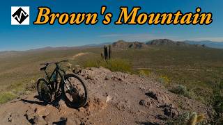
Ride east on Latigo to Whiskey Bottle east to Turpentine east. Connect to Black Hill north, continue on Granite Mountain Loop
We hope you've been enjoying Trailforks!
Create a FREE account to view route comments and much more.
| 942 ft | |||||
| 1,322 ft | |||||
| 1 mile | |||||
| 4,629 ft | |||||
| 1 mile | |||||
| 1,201 ft | |||||
| 2,008 ft | |||||
| 2 miles | |||||
| 1 mile | |||||
| 3,150 ft | |||||
| 1 mile | |||||
| 1,253 ft | |||||
| 1,923 ft | |||||
| 1,411 ft | |||||
| 358 ft | |||||
| 2 miles | |||||
| 1 mile | |||||
| 3,386 ft | |||||
| 3,474 ft | |||||
| 3,363 ft |

Service Road Atlas is a free to use, community-driven service for viewing and creating reports on the numerous back-country service roads around B.C. and Alberta.
Save the current map location and zoom level as your default home location whenever this page is loaded.
Save