

Open in App
Get this route on your phone instantly.
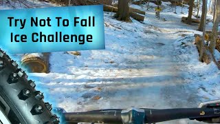
Great forested route through Toronto. Basic route can be easily modified to make it easier (eliminate Stables DH, etc.), shorter, longer, harder, etc. Especially nice in autumn, when the leaves are changing, but can be enjoyed all year round.
We hope you've been enjoying Trailforks!
Create a FREE account to view route comments and much more.
| 5,243 ft | |||||
| 2,352 ft | |||||
| 3,734 ft | |||||
| 1,516 ft | |||||
| 1,063 ft | |||||
| 1,352 ft | |||||
| 833 ft | |||||
| 3,655 ft | |||||
| 3,799 ft | |||||
| 1,608 ft | |||||
| 2,142 ft | |||||
| 974 ft | |||||
| 190 ft | |||||
| 636 ft | |||||
| 2,247 ft | |||||
| 3,999 ft | |||||
| 696 ft | |||||
| 548 ft | |||||
| 1,601 ft | |||||
| 253 ft | |||||
| 558 ft | |||||
| 1,709 ft | |||||
| 230 ft | |||||
| 1 mile | |||||
| 2 miles | |||||
| 92 ft | |||||
| 335 ft | |||||
| 1,122 ft | |||||
| 1,736 ft |

Service Road Atlas is a free to use, community-driven service for viewing and creating reports on the numerous back-country service roads around B.C. and Alberta.
Save the current map location and zoom level as your default home location whenever this page is loaded.
Save