
Open in App
Get this route on your phone instantly.
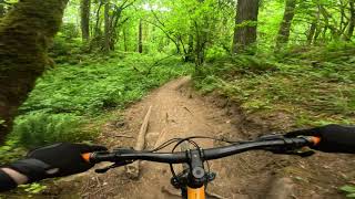
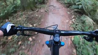
Quick loop for a good training ride. Includes some technical sections and challenges to keep the ride interesting.Designed to be ridden in one direction due to downhill section on Red Tape Trail.
We hope you've been enjoying Trailforks!
Create a FREE account to view route comments and much more.
| 722 ft | |||||
| 902 ft | |||||
| 2,080 ft | |||||
| 988 ft | |||||
| 2,067 ft | |||||
| 1,070 ft | |||||
| 3,143 ft | |||||
| 1,273 ft |

Service Road Atlas is a free to use, community-driven service for viewing and creating reports on the numerous back-country service roads around B.C. and Alberta.
Save the current map location and zoom level as your default home location whenever this page is loaded.
Save