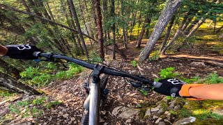
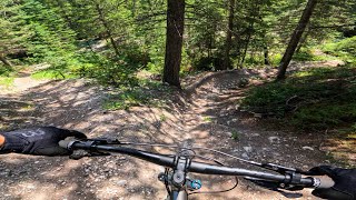
From the Cougar Creek Parking area across from the Iron Goat Restaurant:
- Take the Cougar Creek West access North to Montane Traverse
- Take Montane Traverse all the way to the end until it meets up with Harvey Heights lookout area
- Take Harvey Height descent to Ridge Traverse
- At the end of Ridge Traverse, go up Meander to Montan Glades
- At the end of Montane Glades, go up the last 400m of Johnny's Trail back to Montane Traverse
- Go back onto Montane Traverse southeast-ward back to Cougar Creek to parking lot.
Trail Issues on Route
- Minor Issue / Yellow: 1 trail (newest: May 23, 2026)
Stats
-
Distance10 miles
-
Avg time1 hr 45 min
-
Altitude min4,510 ft
-
Altitude start4,510 ft
-
Altitude end4,511 ft
-
Climb1,377 ft
-
Descent-1,375 ft
-
Grade max-37.5%
-
Grade min43.8%
-
Distance climb5 miles
-
Distance down4 miles
-
Distance flat3,993 ft
13 Reviews & Comments
We hope you've been enjoying Trailforks!
Create a FREE account to view route comments and much more.
Trails in Route
| 2,431 ft | |||||
| 4 miles | |||||
| 1 mile | |||||
| 3,150 ft | |||||
| 3,222 ft | |||||
| 3,481 ft | |||||
| 1,398 ft | |||||
| 2 miles | |||||
| 2,431 ft |
Details
-
Riding area
-
Primary ActivityMountain Bike
-
Other Activities
- E-Bike
-
Difficulty ratingBlue
-
Route TypeLoop
-
eBike Allowed
-
Bike typeAM, XC
-
DirectionOne Direction
-
Physical ratingModerate
-
Ridelogs
- Unknown
- Snow Groomed
- Snow Packed
- Snow Covered
- Snow Cover Partial
- Freeze/thaw Cycle
- Icy
- Prevalent Mud
- Wet
- Variable
- Ideal
- Dry
- Very Dry
The colour categories are based on what percentage of riders are riding a trail in its intended direction.
- > 96%
- > 90%
- > 80%
- > 70%
- > 50%
- < 50%
- bi-directional trail
- no data
- < 2 days
- < 1 week
- < 2 weeks
- < 1 month
- < 6 months
- > 6 months
- Downhill Only
- Downhill Primary
- Both Directions
- Uphill Primary
- Uphill Only
- One Direction
- Description
- Photos
- Description & Photos
- Videos
- most popular
- popular
- less popular
- not popular
Service Road Atlas is a free to use, community-driven service for viewing and creating reports on the numerous back-country service roads around B.C. and Alberta.
Save the current map location and zoom level as your default home location whenever this page is loaded.
Save- Singletrack
- Unpaved
Photos
Videos
Recent Trail Reports Along Route
- By CSharp & contributors
- #16729 - 3,091 views