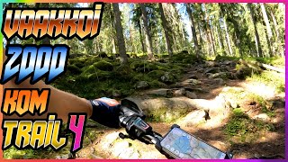
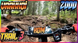
Famous Reitti2000 route. 50km long with mostly gravel but also some difficult mtb trails. Can be done on an enduro rig or a gravel bike. Probably the oldest and most well known mountainbiking route in official capacity of the Greater Helsinki area. Mostly easy but the mtb trails included are difficult to pedal through even to highly experienced riders. This loop uses the Ketunkorpi parking area as the starting point but there are over half a dozen parking spots that can be used as the starting point. So any direction you come from you can find a parking lot on the near side of your loop.
Trail Issues on Route
- Minor Issue / Yellow: 1 trail (newest: Oct 5, 2024)
Local Trail Association
Stats
-
Distance31 miles
-
Avg time5 hr 1 min
-
Altitude min181 ft
-
Altitude start270 ft
-
Altitude end236 ft
-
Climb1,742 ft
-
Descent-1,776 ft
-
Grade max-42.3%
-
Grade min28.4%
-
Distance climb15 miles
-
Distance down14 miles
-
Distance flat2 miles
We hope you've been enjoying Trailforks!
Create a FREE account to view route comments and much more.
Trails in Route
| 1 mile | |||||
| 4,016 ft | |||||
| 4,239 ft | |||||
| 4,764 ft | |||||
| 3,999 ft |
Details
-
Riding area
-
Primary ActivityMountain Bike
-
Other Activities
- E-Bike
- Gravel Bike
-
Difficulty ratingBlue
-
Route TypeLoop
-
eBike Allowed
-
Bike typeAM, XC, Fat, Gravel
-
DirectionBoth Directions
-
Physical ratingHard
- Unknown
- Snow Groomed
- Snow Packed
- Snow Covered
- Snow Cover Partial
- Freeze/thaw Cycle
- Icy
- Prevalent Mud
- Wet
- Variable
- Ideal
- Dry
- Very Dry
The colour categories are based on what percentage of riders are riding a trail in its intended direction.
- > 96%
- > 90%
- > 80%
- > 70%
- > 50%
- < 50%
- bi-directional trail
- no data
- < 2 days
- < 1 week
- < 2 weeks
- < 1 month
- < 6 months
- > 6 months
- Downhill Only
- Downhill Primary
- Both Directions
- Uphill Primary
- Uphill Only
- One Direction
- Description
- Photos
- Description & Photos
- Videos
- most popular
- popular
- less popular
- not popular
Service Road Atlas is a free to use, community-driven service for viewing and creating reports on the numerous back-country service roads around B.C. and Alberta.
Save the current map location and zoom level as your default home location whenever this page is loaded.
Save- Singletrack
Videos
Recent Trail Reports Along Route
| status | trail | date | condition | description |
|---|---|---|---|---|
Oct 5, 2024 @ 5:44pm Oct 5, 2024 | ||||
Jul 19, 2021 @ 8:40am Jul 19, 2021 |
- By Bunabe
& contributors - #47853 - 608 views