
Open in App
Get this route on your phone instantly.
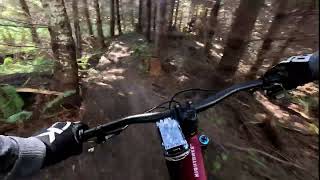
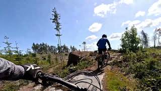
A route that combines a good mix of climbing and downhill covering the Ridge Runner and lower South Benson trails.
This route is Unsanctioned, Ride at your own Risk!
We hope you've been enjoying Trailforks!
Create a FREE account to view route comments and much more.
| 1,001 ft | |||||
| 1,870 ft | |||||
| 3,212 ft | |||||
| 1,870 ft | |||||
| 2,848 ft | |||||
| 2,142 ft | |||||
| 2,231 ft | |||||
| 397 ft | |||||
| 3,133 ft | |||||
| 4,652 ft | |||||
| 906 ft | |||||
| 2,697 ft | |||||
| 154 ft | |||||
| 3,005 ft | |||||
| 2,753 ft | |||||
| 4,649 ft | |||||
| 4,948 ft | |||||
| 630 ft | |||||
| 781 ft | |||||
| 922 ft | |||||
| 1,522 ft | |||||
| 1,027 ft |

Service Road Atlas is a free to use, community-driven service for viewing and creating reports on the numerous back-country service roads around B.C. and Alberta.
Save the current map location and zoom level as your default home location whenever this page is loaded.
Save