
Open in App
Get this route on your phone instantly.
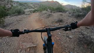
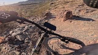
Intermediate loop covering most of the eastern stretch of trail 100. Mix of single track and rolling mixed use trails. Way finding is well marked
We hope you've been enjoying Trailforks!
Create a FREE account to view route comments and much more.
| 1,014 ft | |||||
| 1,775 ft | |||||
| 4,813 ft | |||||
| 1,378 ft | |||||
| 1,975 ft | |||||
| 1,424 ft | |||||
| 1,663 ft | |||||
| 1 mile | |||||
| 2,228 ft |

Service Road Atlas is a free to use, community-driven service for viewing and creating reports on the numerous back-country service roads around B.C. and Alberta.
Save the current map location and zoom level as your default home location whenever this page is loaded.
Save