

Open in App
Get this trail on your phone instantly.

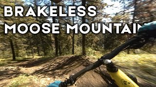
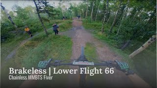
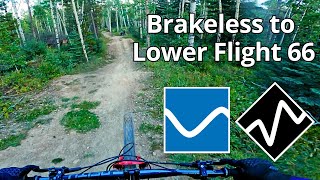
Trail has been updated in 2022. It starts at the 2KM parking area and winds it's way down crossing Elbow Valley Multi-Use trail and Flight 66 Jump Trail. It eventually ends on Highway 66.
This is a popular trail for connecting to Lower Flight 66.
there are a number of dirt features, berms, jumps and rollers.
| c1 | c2 | c3 | c4 |
|---|---|---|---|
January | February | March | April |
May | June | July | August |
September | October | November | December |

Service Road Atlas is a free to use, community-driven service for viewing and creating reports on the numerous back-country service roads around B.C. and Alberta.
Save the current map location and zoom level as your default home location whenever this page is loaded.
SaveWe hope you've been enjoying Trailforks!
Create a FREE account to view trail comments and much more.
You must enter a description before submitting.

