

Open in App
Get this trail on your phone instantly.

Norsk
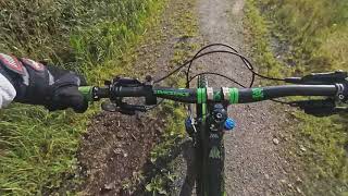
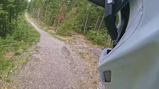
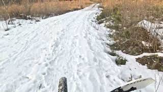
Lysløype av grus.
Fra toppen er det bratt & lang høy hastighet nedstigning etter sjikanen eller fra bunnen bratt stigning, det er ditt valg.
English
Lit gravel ski track.
from the top it's steep & long high speed decent after the chicane or from the bottom steep climb, it's your choice
| c1 | c2 | c3 | c4 |
|---|---|---|---|
January | February | March | April |
May | June | July | August |
September | October | November | December |

Service Road Atlas is a free to use, community-driven service for viewing and creating reports on the numerous back-country service roads around B.C. and Alberta.
Save the current map location and zoom level as your default home location whenever this page is loaded.
Save
No reviews yet, be the first to write a review or ask a question.
Use trail reports to comment on trail conditions.
We hope you've been enjoying Trailforks!
Create a FREE account to view trail comments and much more.
You must enter a description before submitting.

