
Open in App
Get this trail on your phone instantly.

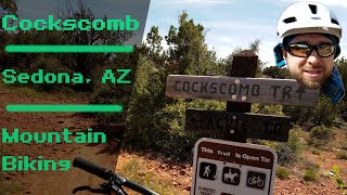
The whole trail is 3.45 miles long and is rated as intermediate for the most part. There are several steep sections an intermediate rider will walk, but for the most part this trail offers a great loop potential when hooked up with the Aerie trail.
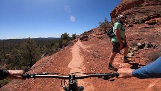
Much of the trail was once an old jeep road so several sections are wider than a normal Sedona singletack. Over the years the FS has been trying to narrow the trail by adding rocks and dead-fall on the edges of the trail. This is a multi-use trail, so beware of horses, hikers and trail runners.
There is one section of the Cockscomb trail that intersects the Dawa trail. This intersection is somewhat confusing due to poorly laid out signage. Please note that the Dawa trail is shaped like an L so make sure you are on the correct track when you exit the common trail area.
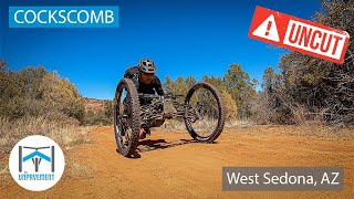
Most adaptive riders will be good. Some steep undulations, possibly requiring riders with front wheel drive to need assistance. There is a ride around under the fence at the Rupp junction rock barrier
| c1 | c2 | c3 | c4 |
|---|---|---|---|
January | February | March | April |
May | June | July | August |
September | October | November | December |

Service Road Atlas is a free to use, community-driven service for viewing and creating reports on the numerous back-country service roads around B.C. and Alberta.
Save the current map location and zoom level as your default home location whenever this page is loaded.
SaveWe hope you've been enjoying Trailforks!
Create a FREE account to view trail comments and much more.
You must enter a description before submitting.

