


 Rock Garden

 Other
OtherOpen in App
Get this trail on your phone instantly.

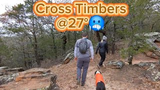
This trail is has something for everyone It is listed by other trail apps as Black Diamond mainly for its continuous ups and downs and the overall effect it has on your body. There are only a few tough technical sections that should be rated Black. Overall the trail is a tough Blue, mainly for the demanding physicality. The length as 12 miles to Rock Creek. However, there is an additional 3 miles on the far west side starting at the trailhead near Lake Texoma Marina which has been part of the trail since it opened in 1969. And…there is many additional loops which brings the total trail mileage closer to 33! The original 15 mile trail was built by the US Army Corp of Engineers and is maintained by local Boy Scout groups, Sierra Club (Dallas), the Corp of Engineers and various local outdoor groups especially DORBA and North Texas Outdoors Meetup groups.
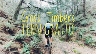
Although the USACE officially lists Cross Timbers Hiking Trail as 15 miles, Lost Loop is very beautiful and popular addition. This loop off the main trail is probably the most beautiful trek tLost Loop. Other Loops like the Kiwanis Loop, an old Boy Scout camp were recently re-opened after many years of neglect and are awesome for all uses. In 2015 flooding caused some parts of the trail to fall off onto the shore below at the Juniper Point Trailhead, recently crews re-o pended this trail, now called the Shoreline Trail….and it is also a beautiful and carved out trail on the edge of these areas. Great views!!
Some of the best primitive camping sites (less traffic) are on Lost Loop. The whole trail has awesome primitive campsites scattered along and on the Loops. Kiwanis Loops has 5 or 6 re-covered camping spots. This area is also popular with the deer as there is plenty of thick cover, water and persimmons trees. If you would like to camp near bathrooms, Juniper Point is where you want to set up. There are sites for tents and RV’s. Closer to Cedar Bayou Marina, there are cottages and homes for rent as well.
Juniper Point Trailhead (HWY 377), 32744 US Highway 377, Gordonville, TX, 76245
33.8594044, -96.8382651
| c1 | c2 | c3 | c4 |
|---|---|---|---|
January | February | March | April |
May | June | July | August |
September | October | November | December |

Service Road Atlas is a free to use, community-driven service for viewing and creating reports on the numerous back-country service roads around B.C. and Alberta.
Save the current map location and zoom level as your default home location whenever this page is loaded.
SaveWe hope you've been enjoying Trailforks!
Create a FREE account to view trail comments and much more.
You must enter a description before submitting.

