



Open in App
Get this trail on your phone instantly.

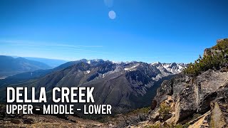
The trail has three distinct portions. The top portion (hike-a-bike access) starts at 2553m (8,376 ft.) in the alpine and descends to 1500m (4,960 ft.). The middle portion (pedal access) starts in subalpine at 1500m (4,960 ft.). The bottom portion (shuttle access) starts at 1270m (4,166 ft.) and descends to 348m. (1,141 ft.)
This trail is accessed through a number of FN reserve lands and various farm properties along Texas Creek Rd. Please drive respectfully, as these residents value there remote locations, and cyclists are starting to get a bad reputation out there, which may lead to trail restrictions. Slowing down, with a smile and a wave can go a long way to ease concerns.
Same advice regarding camping: please pack out what you take in, and consider dropping a few coins in town on gas, food and drinks, to provide a bit of spin-off benefit from your visit. There is already talk about gating the road at the bottom, so don't be the one that makes it happen.
Enjoy your ride.


| c1 | c2 | c3 | c4 |
|---|---|---|---|
January | February | March | April |
May | June | July | August |
September | October | November | December |


Service Road Atlas is a free to use, community-driven service for viewing and creating reports on the numerous back-country service roads around B.C. and Alberta.
Save the current map location and zoom level as your default home location whenever this page is loaded.
SaveWe hope you've been enjoying Trailforks!
Create a FREE account to view trail comments and much more.
 Trailforks & contributors
You must enter a description before submitting.

