





Open in App
Get this trail on your phone instantly.

Multi-use trail primarily used by motorcycles and mountain bikes.
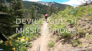
One of the premier mountain bike trails in the PNW. Ascending options include riding up Mission Creek Rd to Beehive Rd. and then descending Devil's Gulch or just riding up the trail itself. If you're riding up the road, the old route has been decommissioned and riders must use the new Peavine Pinnacles trail.
The trail is gentlest at the top then descends a bit sharper through some switchbacks about midway and finally crosses the creeks at the bottom. It's technical in spots but overall it's a solid intermediate/blue square trail.
Devil's Gulch usually opens in late Spring and often has a lot of downed trees, usually cleared by the motos. The creek crossings down low at this time can be high, so take caution. Other nearby options include the figure 8, riding up Devil's Gulch and then down Mission Ridge trail. Red Hill and Red Devil are also worthy additions.

| c1 | c2 | c3 | c4 |
|---|---|---|---|
January | February | March | April |
May | June | July | August |
September | October | November | December |


Service Road Atlas is a free to use, community-driven service for viewing and creating reports on the numerous back-country service roads around B.C. and Alberta.
Save the current map location and zoom level as your default home location whenever this page is loaded.
Save

We hope you've been enjoying Trailforks!
Create a FREE account to view trail comments and much more.
 & contributors
You must enter a description before submitting.

