

Open in App
Get this trail on your phone instantly.

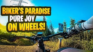
MOUNTAIN BIKING ONLY
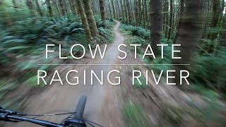
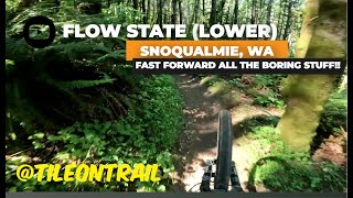
Flow State Lower is a great fast rolling downhill only trail, short but fun, flow not tech, can be ridden on a 24" bike for those that are adventurous
Access from Upward Mobility, the Access Road, or Flow State Upper.
MOUNTAIN BIKING ONLY! Hiking NOT permitted!
| c1 | c2 | c3 | c4 |
|---|---|---|---|
January | February | March | April |
May | June | July | August |
September | October | November | December |

Service Road Atlas is a free to use, community-driven service for viewing and creating reports on the numerous back-country service roads around B.C. and Alberta.
Save the current map location and zoom level as your default home location whenever this page is loaded.
SaveWe hope you've been enjoying Trailforks!
Create a FREE account to view trail comments and much more.
You must enter a description before submitting.

