


Open in App
Get this trail on your phone instantly.

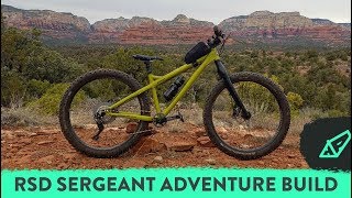
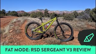
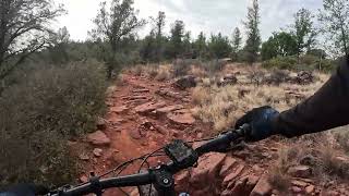
The Girdner trail has been recently rerouted as of 2/2019. It is now the main connector trail between Dry Creek Rd,and the Cultural Park near Red Rock High School, The reroute has eliminated all Dry Creek Wash crossing segments which proved to be very challenging during prolonged rain periods during the winter and summer. The trail is five miles long and is rated as follows: 15%- Beginner,80%- Intermediate, 5%-Advanced, The trail can be ridden in either direction but the south to north direction is the easiest direction. This is a multi-use trail, so beware of horses, hikers and trail runners.
Off Dry Creek Rd on the north end and from the Cultural Center Parking Lot on the southern end,
| c1 | c2 | c3 | c4 |
|---|---|---|---|
January | February | March | April |
May | June | July | August |
September | October | November | December |

Service Road Atlas is a free to use, community-driven service for viewing and creating reports on the numerous back-country service roads around B.C. and Alberta.
Save the current map location and zoom level as your default home location whenever this page is loaded.
SaveWe hope you've been enjoying Trailforks!
Create a FREE account to view trail comments and much more.
You must enter a description before submitting.

