

Open in App
Get this trail on your phone instantly.

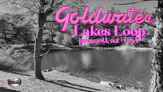
The trail follows along the shoreline of the Upper Goldwater Lake and Lower Goldwater Lake. It mostly stays close to the waterline, except where it passes above the Upper Lake dam and passes around below the Lower Lake dam.
The trail has its share of tricky spots, rocks, steep sharp turns, narrow exposed spots (steep-up on the left, steep-down on the right). There are a lot of steep ups and downs, so the rider gets a lot of exercise on a short route.

| c1 | c2 | c3 | c4 |
|---|---|---|---|
January | February | March | April |
May | June | July | August |
September | October | November | December |


Service Road Atlas is a free to use, community-driven service for viewing and creating reports on the numerous back-country service roads around B.C. and Alberta.
Save the current map location and zoom level as your default home location whenever this page is loaded.
Save
We hope you've been enjoying Trailforks!
Create a FREE account to view trail comments and much more.
You must enter a description before submitting.

