


Open in App
Get this trail on your phone instantly.

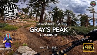
Great trail up to a nice viewpoint.
This trailhead is located on the west side of HWY 38 (North Shore Drive), just west of Fawnskin, across from Grout Bay Picnic Area. The USFS maps will show the Gray's Peak trail starting immediately at the highway parking lot, which is overlapping Grout Bay Trail.
Since this trail is within bald eagle habitat, it is closed during nesting season from winter to spring, sometimes extending into summer.
The singletrack trail climbs westerly before turning and twisting to the south and finaly back to the west up to Gray's Peak, with a quick boulder scramble to the very top.
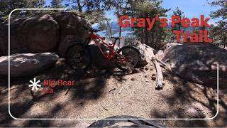
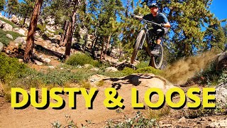
There are a few tricky rock step sections that may challenge handling and pedaling technique.
Expect to encounter families, hikers, dog walkers and other trail users - bike bell strongly encouraged.
Enjoy the expansive views to the south of Big Bear Lake
| c1 | c2 | c3 | c4 |
|---|---|---|---|
January | February | March | April |
May | June | July | August |
September | October | November | December |


Service Road Atlas is a free to use, community-driven service for viewing and creating reports on the numerous back-country service roads around B.C. and Alberta.
Save the current map location and zoom level as your default home location whenever this page is loaded.
SaveWe hope you've been enjoying Trailforks!
Create a FREE account to view trail comments and much more.
 TRAILFORKS & contributors
You must enter a description before submitting.

