
Open in App
Get this trail on your phone instantly.

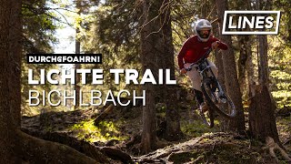
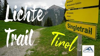
Trail from "Heiterwanger Hochalm" to Bichlbach. Flowy track through the forest and the ski-slope. Tracks starts next the lift-station of Almkopfbahn and ends at the bottom station of Almkopfbahn. Partly on or next to the fire/forest road. There is an uphill by pedal, or you can also use the lift (Almkopfbahn).
Please note that there could be hikers on the trail. Ride respectful and be friendly
The trail is official and legal and marked as "Lichte Trail 882" on offical MTB-routes, maps and signs.
Sometimes the trail is also named as "Bichlbach Trail" or "Almkopf Downhill".
Wearing a helmet is compulsory. Be friendly to hikers.
| c1 | c2 | c3 | c4 |
|---|---|---|---|
January | February | March | April |
May | June | July | August |
September | October | November | December |

Service Road Atlas is a free to use, community-driven service for viewing and creating reports on the numerous back-country service roads around B.C. and Alberta.
Save the current map location and zoom level as your default home location whenever this page is loaded.
SaveWe hope you've been enjoying Trailforks!
Create a FREE account to view trail comments and much more.
You must enter a description before submitting.

