


Open in App
Get this trail on your phone instantly.

The Dewdney Trail is a 720 km trail in British Columbia, Canada that served as a major thoroughfare in mid-19th century British Columbia.
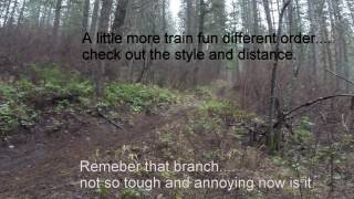
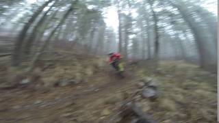
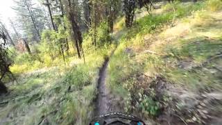
This is the lower section ending on Santa Rosa in Christina lake. A popular classic style single track with fast flowing sections followed by tight switchbacks
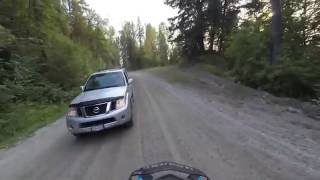
Access from Santa Rosa road, take the "Lower Dewdney Access" found on here on Trail forks. DO NOT access from Dupee Road if shuttling. New land owner (Robert) does not want motorized traffic on his private property. NO SHUTTLING UP DUPEE Power lines are his property, so you can't just skip through with your 4x4 4runner. HOWEVER, robert has added "Dewdney access" signs along his property and has assured us non motorized use is welcome as long as we are quiet and respectful. If you're not shuttling up, then ride up Dupee and use his access.
This trail is unsanctioned.
| c1 | c2 | c3 | c4 |
|---|---|---|---|
January | February | March | April |
May | June | July | August |
September | October | November | December |

Service Road Atlas is a free to use, community-driven service for viewing and creating reports on the numerous back-country service roads around B.C. and Alberta.
Save the current map location and zoom level as your default home location whenever this page is loaded.
SaveWe hope you've been enjoying Trailforks!
Create a FREE account to view trail comments and much more.
You must enter a description before submitting.

