


Open in App
Get this trail on your phone instantly.

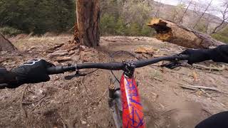
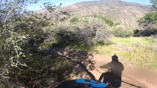
Virtually all downhill, this trail drops from thick pine forest through oak woodlands to open chaparral. Although the name suggests lots of stream crossings and wet boulder riding, the trail stays above the creek for most of its course until the end-when getting wet sounds like a good idea.

| c1 | c2 | c3 | c4 |
|---|---|---|---|
January | February | March | April |
May | June | July | August |
September | October | November | December |


Service Road Atlas is a free to use, community-driven service for viewing and creating reports on the numerous back-country service roads around B.C. and Alberta.
Save the current map location and zoom level as your default home location whenever this page is loaded.
SaveWe hope you've been enjoying Trailforks!
Create a FREE account to view trail comments and much more.
You must enter a description before submitting.

