
Open in App
Get this trail on your phone instantly.

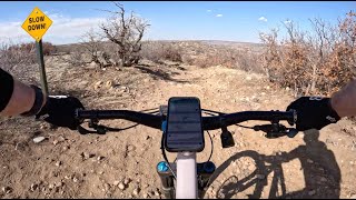
Mostly just DH, lots of rocks but not very long. Certainly a black going up it but definitely a blue going down it. HTH.
Easiest access is on the western side, riding the blue trails to it. Also accessible from the eastern side from 83, just a longer (scenic) ride.
| c1 | c2 | c3 | c4 |
|---|---|---|---|
January | February | March | April |
May | June | July | August |
September | October | November | December |

Service Road Atlas is a free to use, community-driven service for viewing and creating reports on the numerous back-country service roads around B.C. and Alberta.
Save the current map location and zoom level as your default home location whenever this page is loaded.
SaveWe hope you've been enjoying Trailforks!
Create a FREE account to view trail comments and much more.
You must enter a description before submitting.

