


Open in App
Get this trail on your phone instantly.

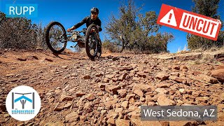
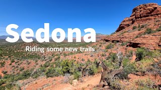
Intermediate 60% and advanced 40%, 1.2 mile MTB trail which is a bi-directional singletrack The trail tread is mostly packed dirt mixed with rock. There is no preferred direction, but the trail is easiest to ride from the northwest to the east. The trail is a good connector for several other fun loops.
To the northwest from the Cockscomb trail from the south from the Girdner trail.
Most of the trail is wide open and good except for where it crosses Dry Creek. Some ledges sections throughout. FWD might need assistance.
| c1 | c2 | c3 | c4 |
|---|---|---|---|
January | February | March | April |
May | June | July | August |
September | October | November | December |

Service Road Atlas is a free to use, community-driven service for viewing and creating reports on the numerous back-country service roads around B.C. and Alberta.
Save the current map location and zoom level as your default home location whenever this page is loaded.
SaveWe hope you've been enjoying Trailforks!
Create a FREE account to view trail comments and much more.
You must enter a description before submitting.

