

Open in App
Get this trail on your phone instantly.

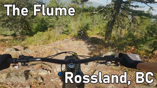
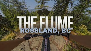
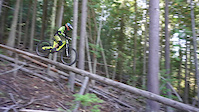
Alternately steep, slow and technical, fast and flowing, stunted, and meandering through old growth forest, the Flume is a ‘must-do’ for skilled riders on big bikes. The trail begins with a short but energetic climb to the summit
of Tamarack Mt (1319m ft) where riders pad up while admiring the view. The long descent tumbles through a gamut of steep, tight and rocky terrain with plenty of drops, log rides, boulder hopping and flowing singletrack, all the way down to Paterson, just up from the US border. Watch for a few pro-level alternate lines adjacent to the trail if you need some extra challenge.
The Flume starts at the top of Malde Creek Road and ends down towards the Paterson Boarder. For shuttling, park a vehicle on Barley Rd. 100m off Highway 22 near Paterson, then drive to the top of Malde Creek Rd [a rough gravel road - 4WD recommended and clearance required]. The entrance to the Flume
is 500m past the Whiskey trailhead on the right hand side of Malde Creek Rd. Watch for a signed overgrown road, and
the singletrack begins about 200m in, signed on the right. The Trail can also be accessed from the top of Tamarack. If you're feeling fit, the Flume can be ridden as a loop by parking at Paterson riding up Dukhobor Draw and Tamarack to Malde Creek Road then up to the start of the Flume Descent back to the car.
| c1 | c2 | c3 | c4 |
|---|---|---|---|
January | February | March | April |
May | June | July | August |
September | October | November | December |

Service Road Atlas is a free to use, community-driven service for viewing and creating reports on the numerous back-country service roads around B.C. and Alberta.
Save the current map location and zoom level as your default home location whenever this page is loaded.
SaveWe hope you've been enjoying Trailforks!
Create a FREE account to view trail comments and much more.
You must enter a description before submitting.

