
Open in App
Get this trail on your phone instantly.

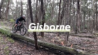
Trail one of the Hobbs Road / Lerderderg State Park MTB Trails. ( Also known as the Pyrete Range )
Don't know what the locals actually call these trails, although Flow did a summary and the trails were known as Yellow Dot, because of the Yellow Spray paint dot on trees along the trail.
Trail is a mix of tight and twisty small scattered pyrete rock, and sandy base, through bushland, with some areas of flow
This trail is unsanctioned.
Locals should be able to advise of the trail name, and of other trails Note some are locally marked
| c1 | c2 | c3 | c4 |
|---|---|---|---|
January | February | March | April |
May | June | July | August |
September | October | November | December |

Service Road Atlas is a free to use, community-driven service for viewing and creating reports on the numerous back-country service roads around B.C. and Alberta.
Save the current map location and zoom level as your default home location whenever this page is loaded.
Save
No reviews yet, be the first to write a review or ask a question.
Use trail reports to comment on trail conditions.
We hope you've been enjoying Trailforks!
Create a FREE account to view trail comments and much more.
You must enter a description before submitting.

